Lagos-Calabar Coastal Highway Designed to Withstand Flooding, Umahi Says

Lagos-Calabar Coastal Highway incorporates flood control measures.
The Federal Government has said the Lagos-Calabar Coastal Highway was designed to withstand flooding, with the road raised above existing flood levels and drainage infrastructure incorporated into the project.
Minister of Works David Umahi gave the assurance amid concerns over flooding in communities and properties along the coastal corridor, insisting that the highway itself was not responsible for the flooding affecting parts of Lagos.
/ You Might Also Like /



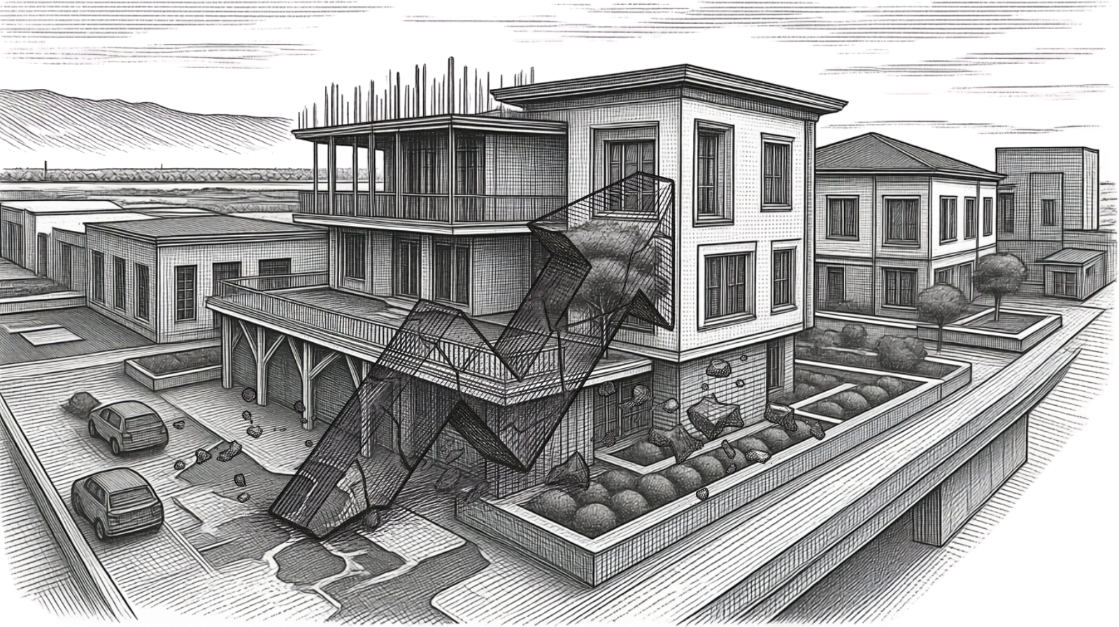
Highway Raised Above Existing Flood Levels
Umahi said studies conducted before construction showed that the highway needed to be constructed above the existing flood level rather than at the same elevation as surrounding properties.
According to the minister, the road was therefore raised above the flood level as part of its design.
He argued that many buildings along the corridor were constructed decades ago, before the effects of climate change and rising flood levels became as pronounced as they are today.
The minister also maintained that flooding occurred in communities along the corridor before construction of the highway began.
Hydraulic Channels Form Part of Flood-Control Measures
Umahi said the Federal Government is constructing hydraulic channels and service lanes along the corridor to improve the movement of floodwater towards the lagoon.
He explained that channels are being created at regular intervals to move water from the ocean side of the highway towards the lagoon, while existing drainage infrastructure in some areas requires improvement.
The minister said some drainage channels in Lagos were either blocked or insufficient to evacuate surrounding floodwater effectively.
The Federal Ministry of Works has previously said the highway incorporates culverts, drainage systems and embankments designed to manage stormwater and mitigate flooding.
Flooding Raises Questions for Coastal Property Development
The flooding debate has wider implications for property development along Lagos' coastal corridor.
The areas around the Lagos-Calabar Coastal Highway have attracted substantial residential, commercial and mixed-use development, making drainage, flood protection and road accessibility important considerations for property owners and investors.
Flood risk can influence land values, insurance costs, construction requirements and the long-term viability of developments, particularly in low-lying coastal locations.
For developers, the issue extends beyond whether a road remains passable during heavy rainfall. The wider drainage network serving surrounding communities must also be capable of moving stormwater away from properties and infrastructure.
Infrastructure and Property Development Are Increasingly Interconnected
The highway illustrates the close relationship between major transport infrastructure and real estate development.
Improved connectivity can unlock new development corridors by reducing travel times and improving access to emerging residential and commercial districts. However, the value created by new transport infrastructure depends partly on supporting systems such as drainage, water management, electricity and access roads.
Where those systems lag behind development, infrastructure improvements can coexist with persistent environmental and property risks.
The Federal Government's emphasis on hydraulic channels along the coastal highway therefore has implications beyond the road itself.
Climate Resilience Becomes More Important for Lagos
The dispute also highlights the growing importance of climate resilience in urban development.
Lagos' coastal geography exposes several parts of the state to flooding, while increased rainfall intensity, rising water levels and rapid urbanisation can place additional pressure on drainage infrastructure.
NiMet's 2026 climate planning materials identify construction and water resources among the sectors that require climate information for planning and decision-making.
For the real-estate industry, this means flood risk assessment needs to become an increasingly important part of land acquisition, project design and infrastructure planning.
Highway Could Influence Development Along the Coastal Corridor
Beyond its transport function, the Lagos-Calabar Coastal Highway is expected to influence development patterns along the route.
Improved road connectivity can increase the attractiveness of previously less accessible locations for residential estates, hospitality projects, logistics facilities and commercial developments.
However, the sustainability of that growth will depend on whether surrounding communities receive adequate drainage and other supporting infrastructure.
This makes the highway's flood-control design particularly relevant to property investors assessing opportunities along the corridor.
Outlook
The Federal Government's assurance that the Lagos-Calabar Coastal Highway was designed above flood levels provides an important response to concerns about the project's resilience to flooding.
However, the wider property-market question extends beyond the highway itself. The effectiveness of the corridor will also depend on the performance of interconnected drainage systems and the ability of surrounding communities to manage stormwater.
For Lagos' property market, the episode reinforces a broader lesson: transport infrastructure can unlock real-estate value, but long-term development depends on resilient infrastructure systems that protect both public assets and private property.
READ MORE